


ROUND THE WORLD
63 - THE NEEDLES, ISLE OF WIGHT - 28 May 2025
During many years, now approaching fifty, it’s been our good fortune to be ‘at home’ in a small former coastguard cottage which lies beside the narrow stretch of water called the Solent which runs between the southern coast of the British mainland and the Isle of Wight. From there, in our own boat, we have often visited The Needles.
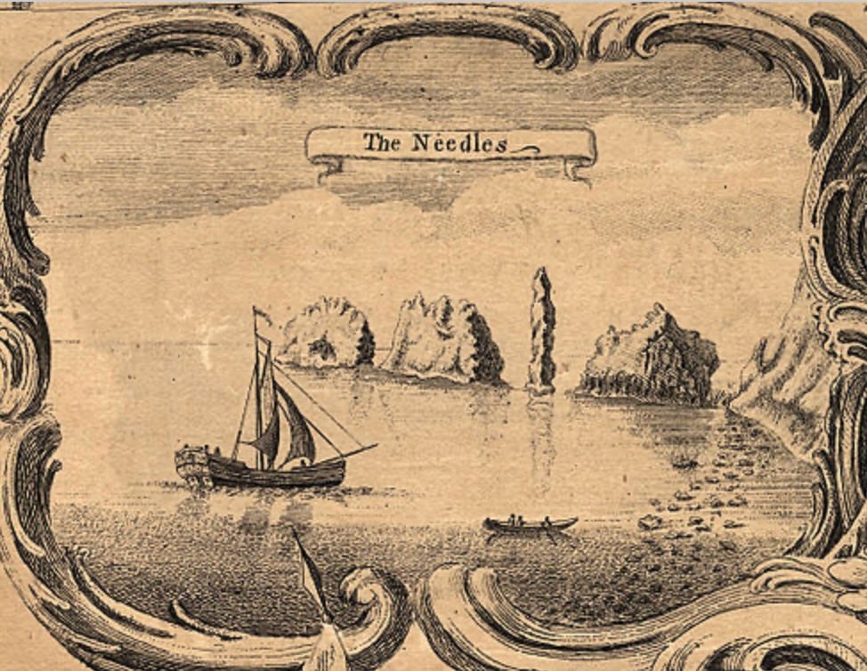
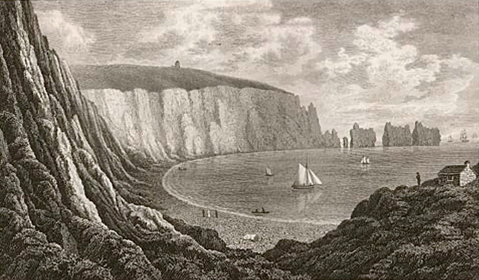
The Needles from Isaac Taylor’s ‘one inch map’ of Hampshire, published in 1759
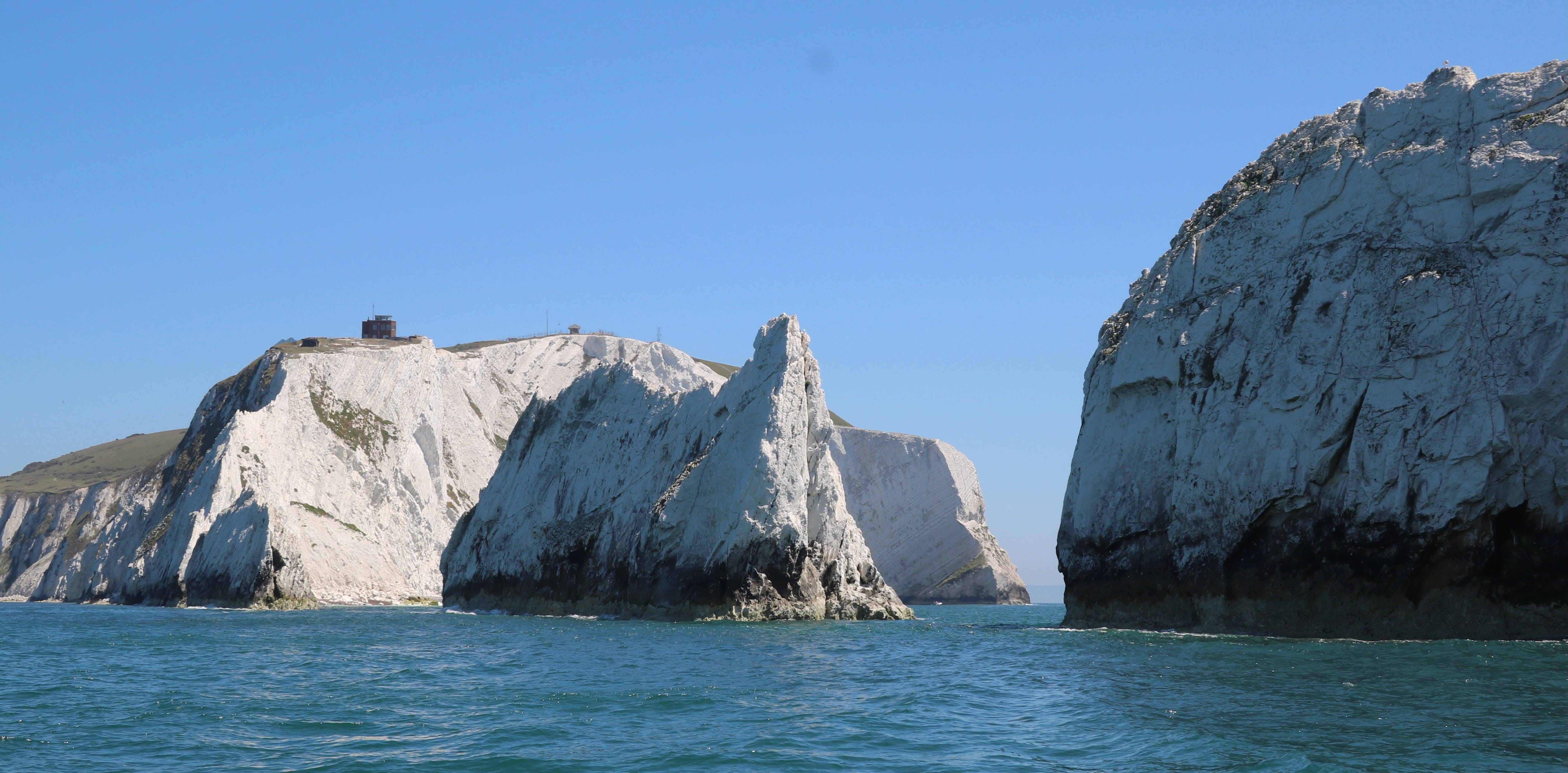
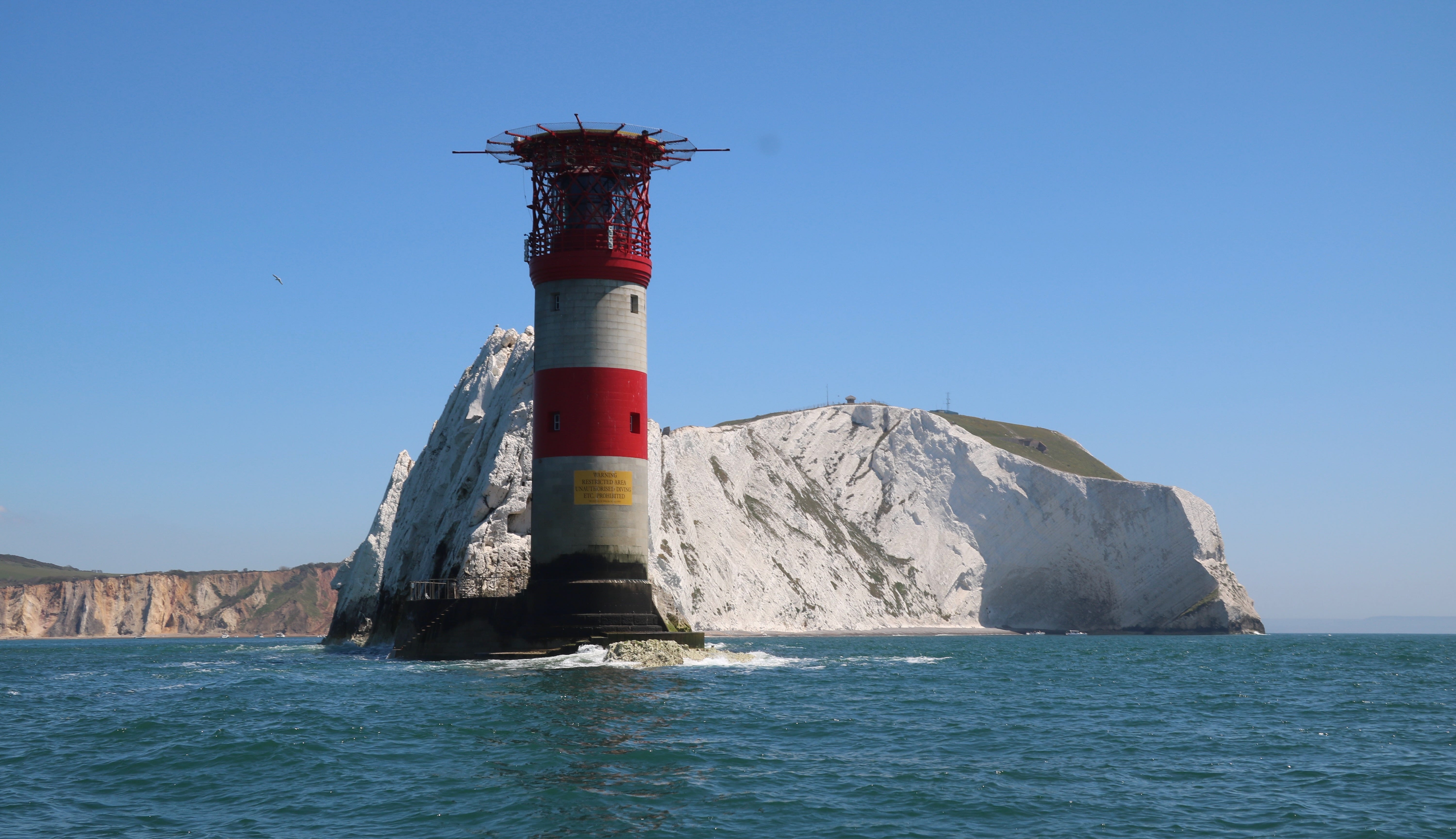
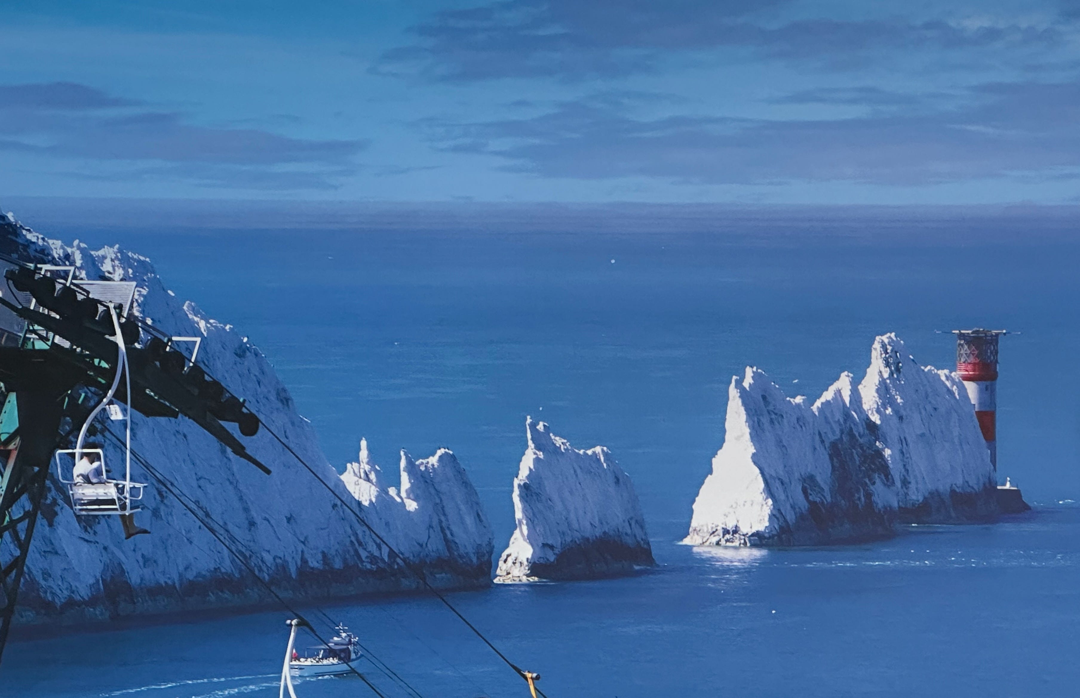
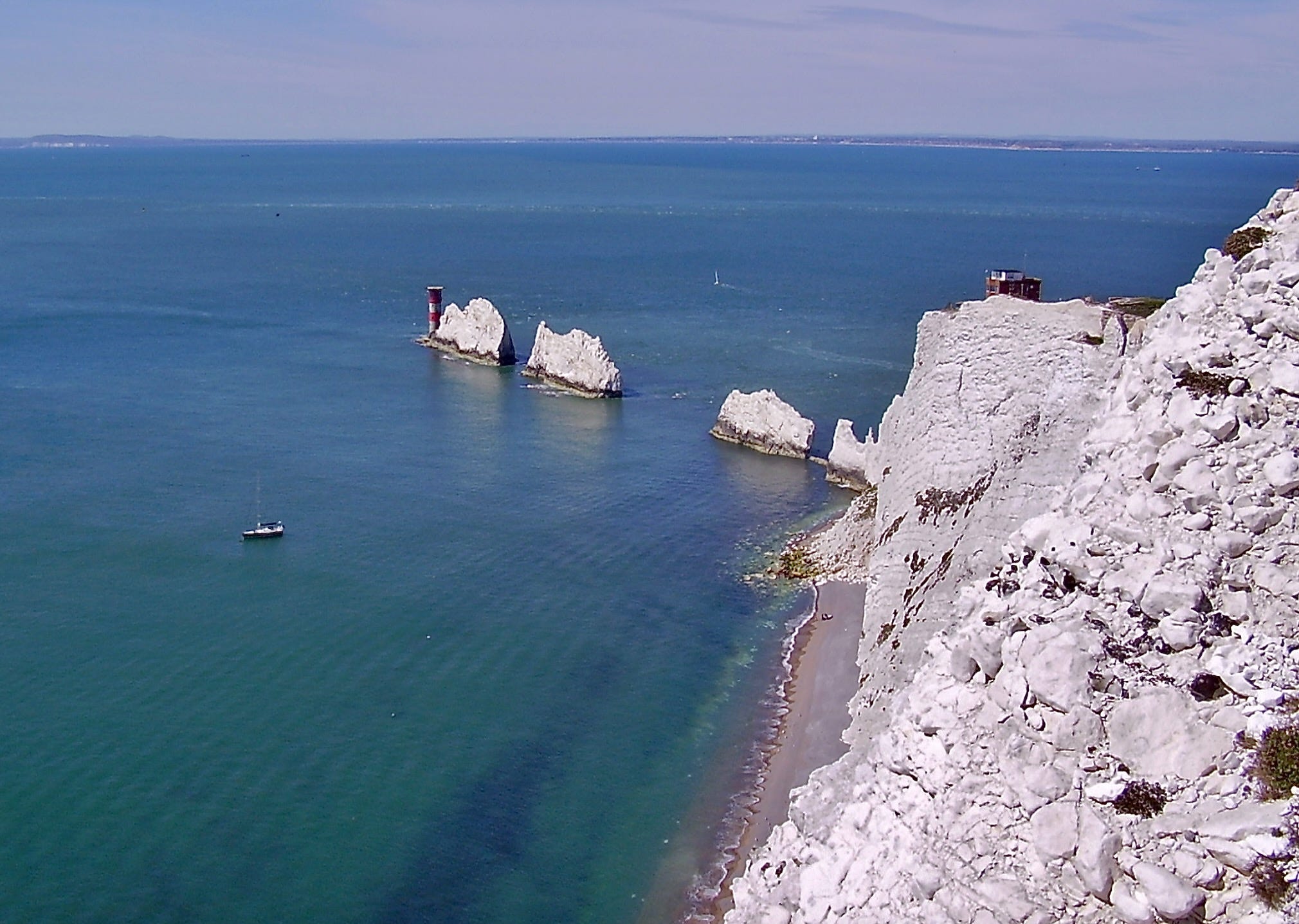
The Needles are a line of three free standing chalk ‘stacks’, their shape the result of strata folding during the Alpine Orogeny, that rise thirty metres out of the sea off the western end of the Isle of Wight. The formation takes its name from a fourth needle-shaped pillar of rock called Lot’s Wife which collapsed in a 1746 storm.
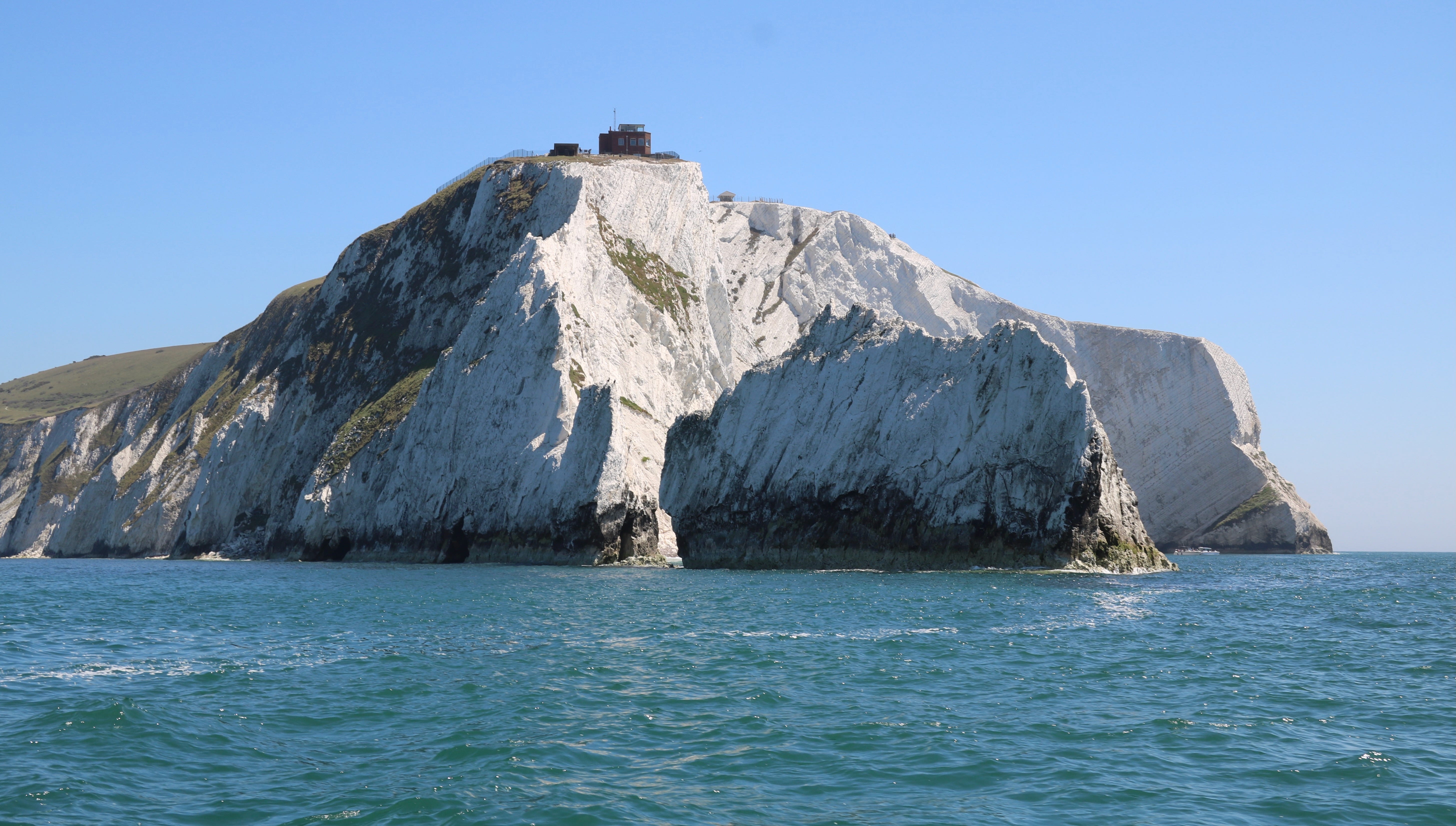
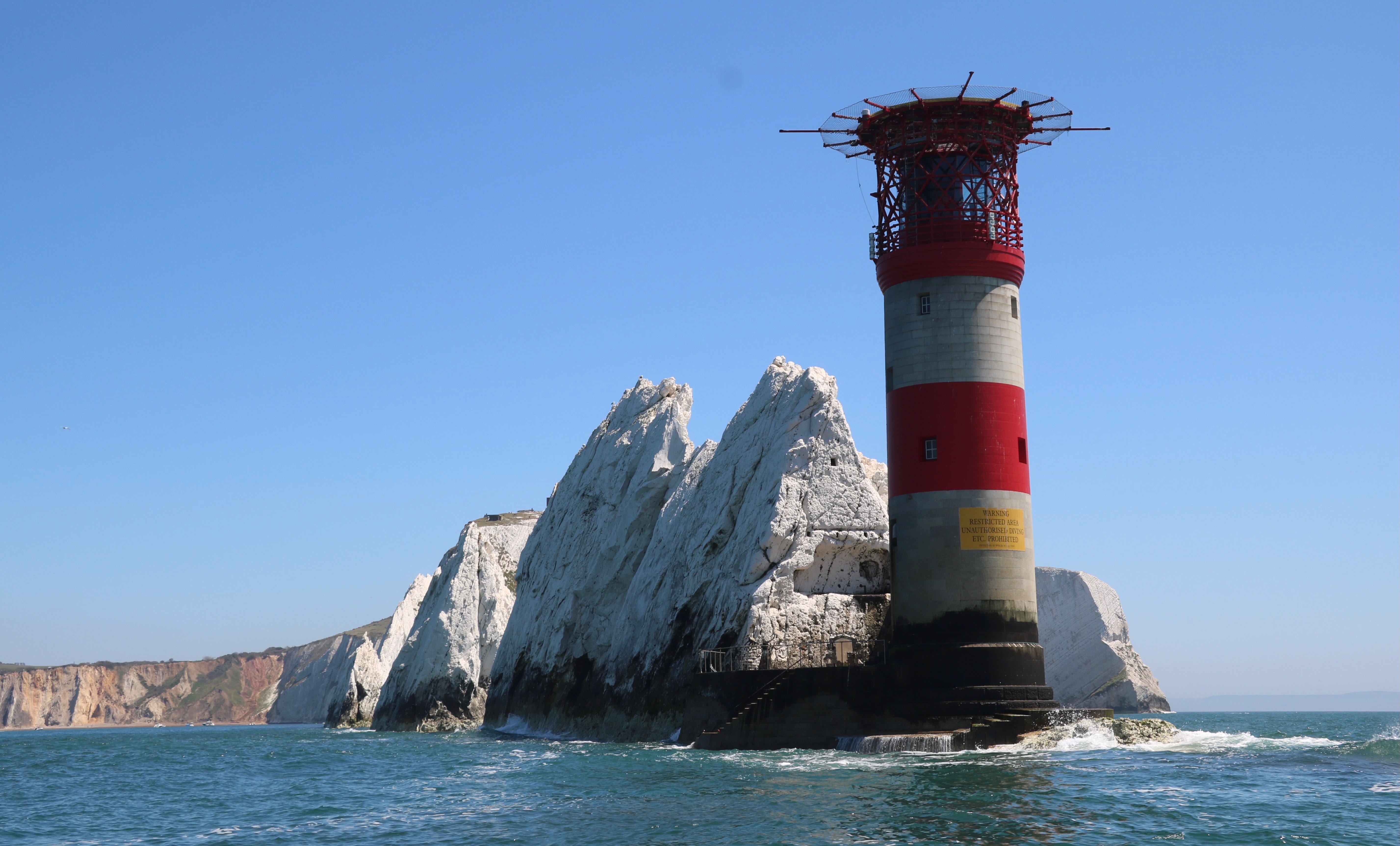
The Needles Lighthouse, built in 1859 and automated since 1994, stands at their western extremity.
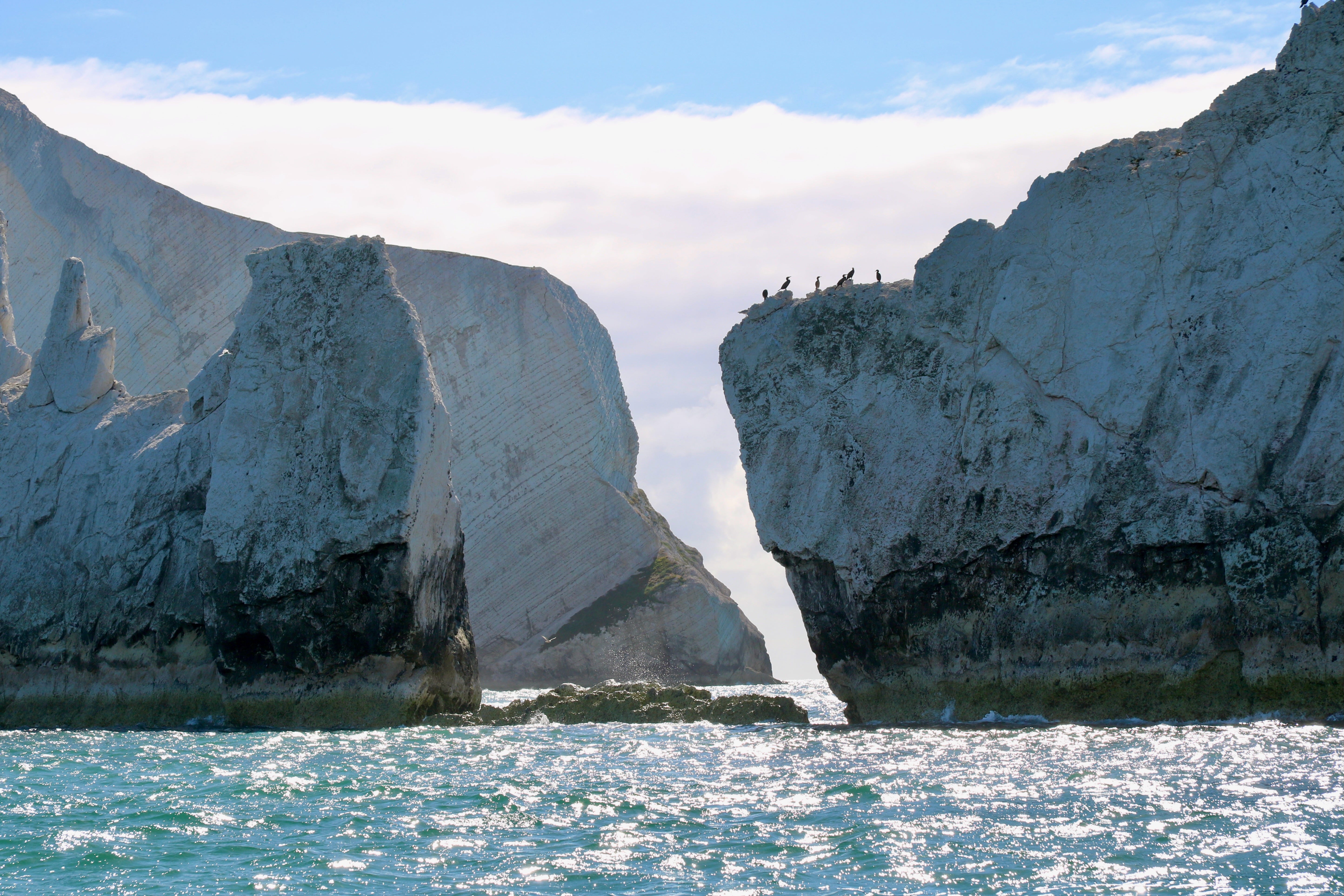
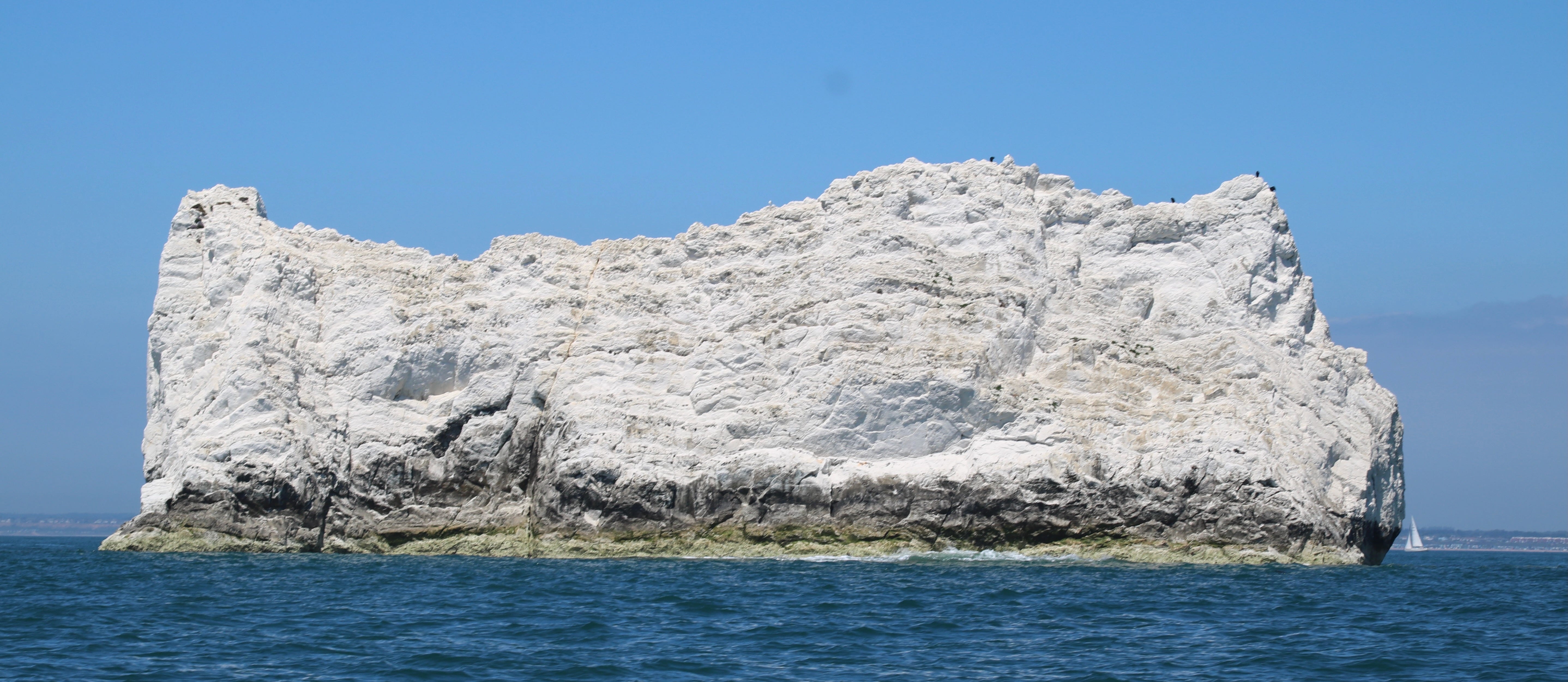
To stare up at the glistening chalk monoliths of The Needles from a small boat, often tossed about in a great rising and falling sea, never fails to promote feelings of excitement, trepidation and wonder. So many boats have met their end against these rock or on the Shingles, a shifting shoal of pebbles lying just beneath the waves and stretching three miles west beyond them.
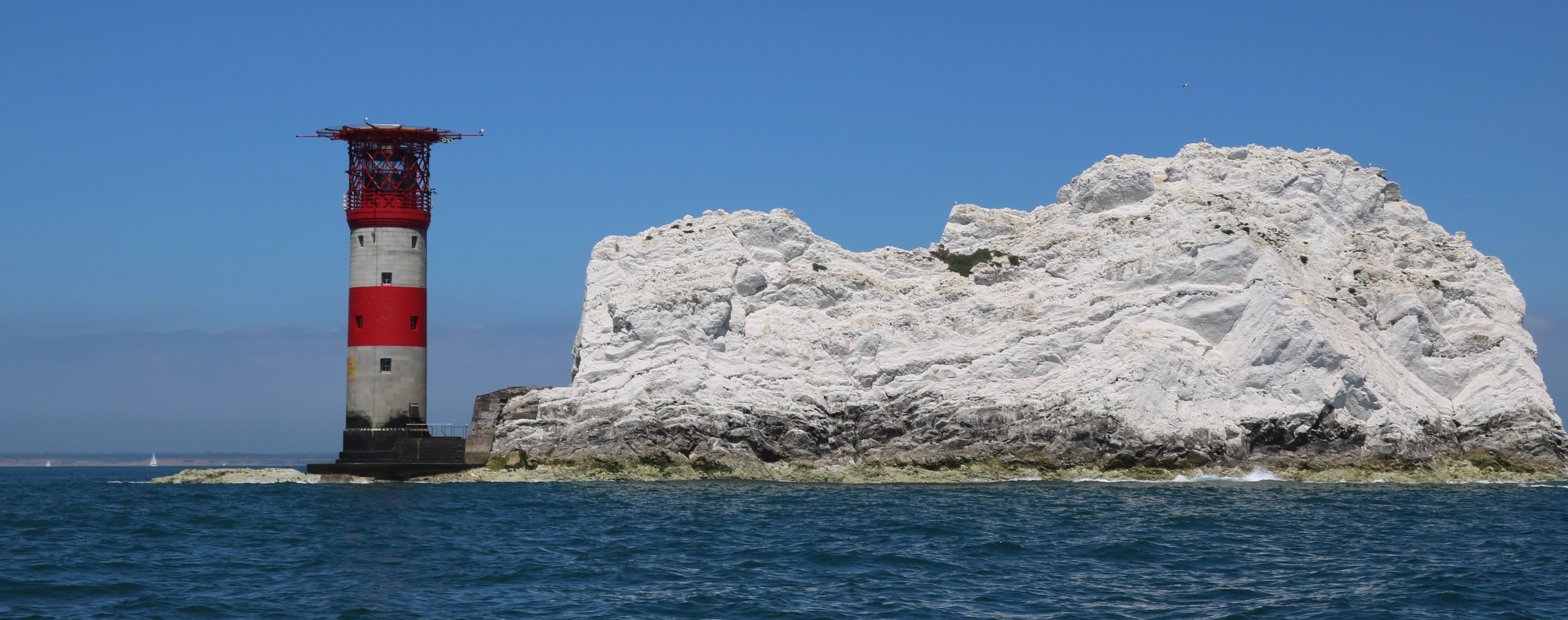
In 1947 SS Varvassi went aground and sank 150 metres west of the lighthouse. Remains of the wreck still lie just under the surface of the water and can, in part, be seen at extreme low tide. Beware this additional hazard and most particularly if attempting to make passage between it and Goose Rock which lies in shallows just off the lighthouse.
Hazardous waters. Be warned.
On one memorable occasion we were there, just the two of us and making passage to France, when a dense fog sea suddenly found us and hid the jagged rocks and shallows from our view. Then only the eerie call of the lighthouse fog horn warned us of the direction and distance from which danger and potential disaster threatened.
Always be respectful and vigilant of the sea, the weather and their quickly changing moods.
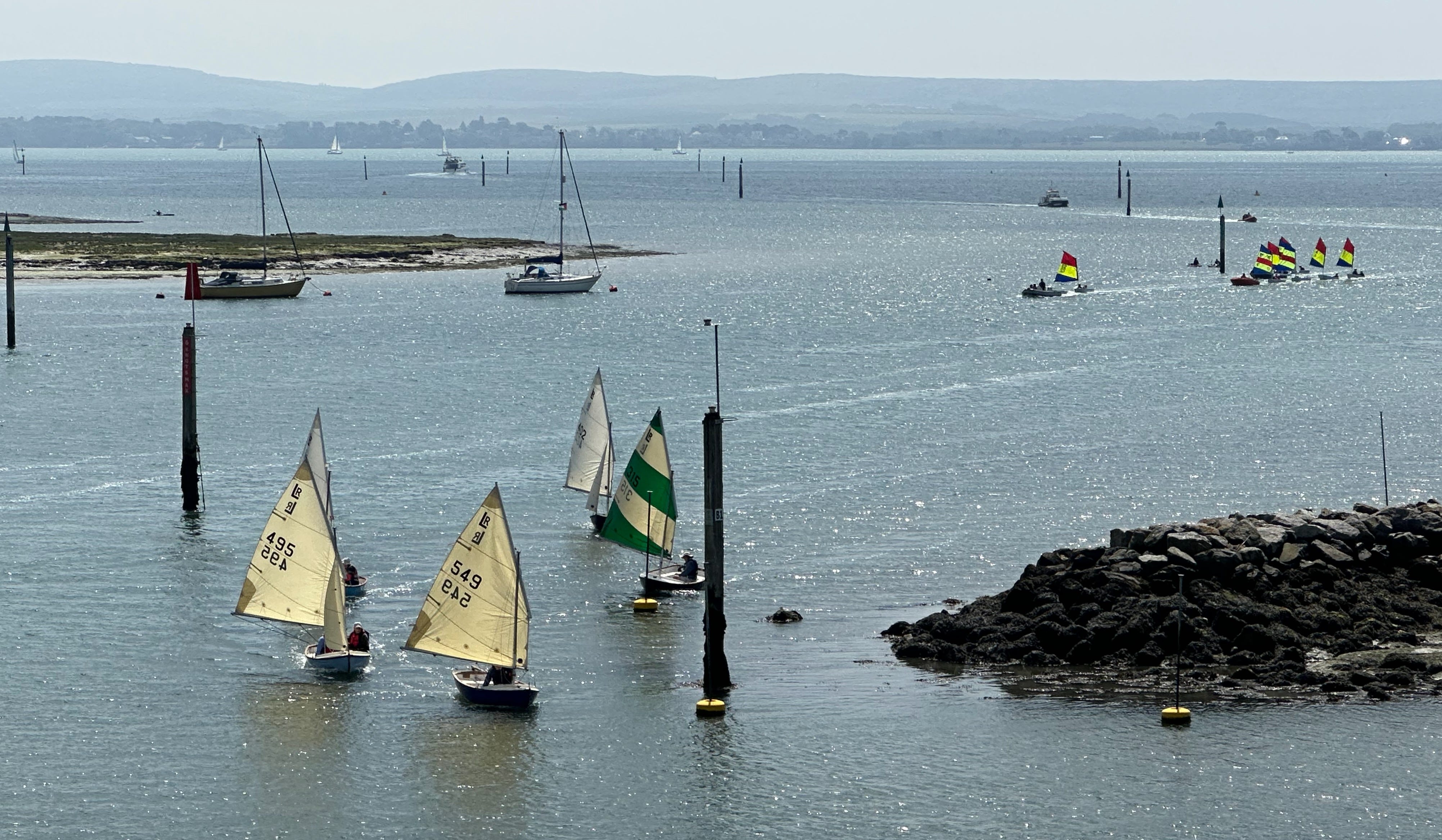
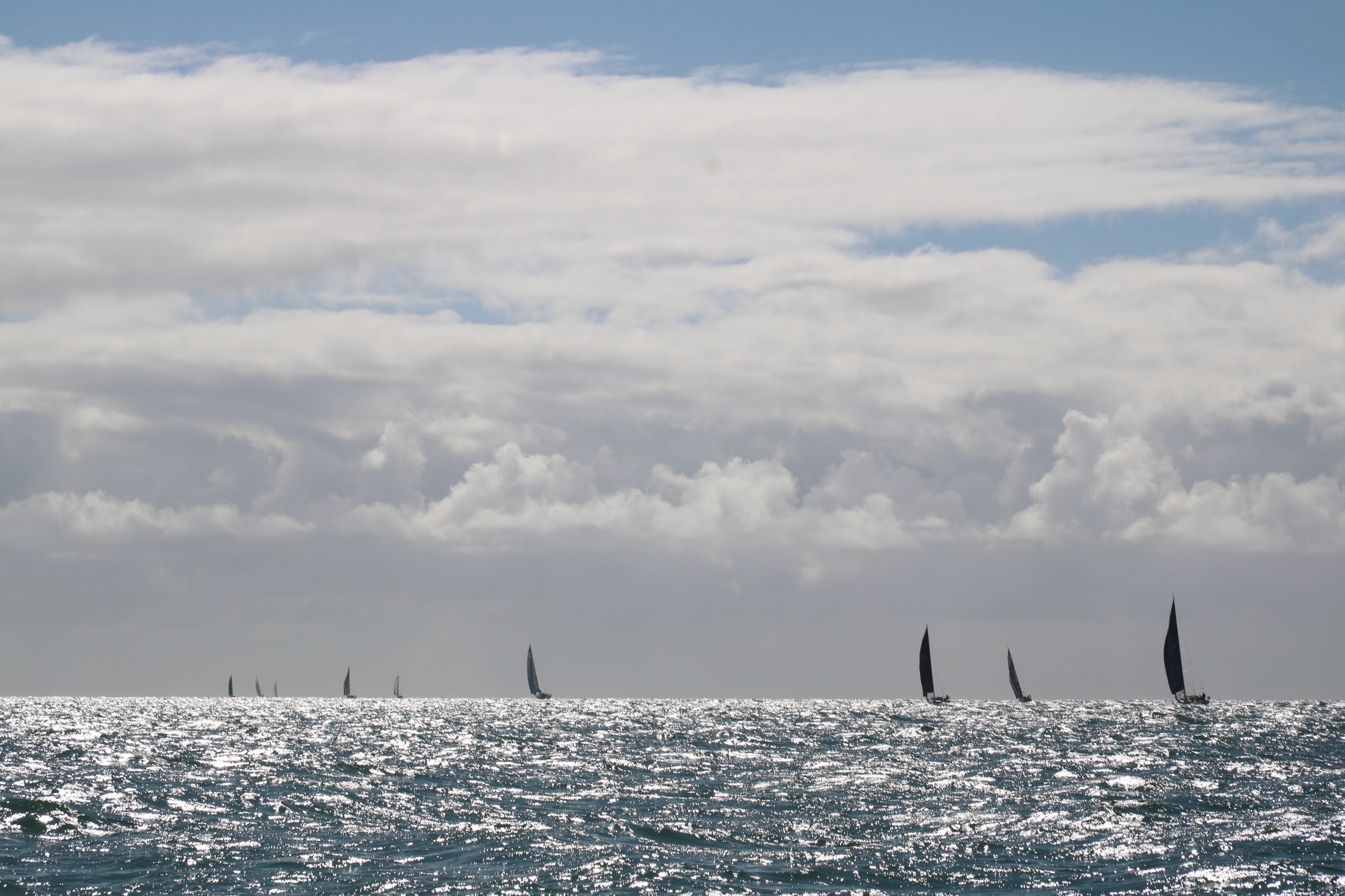
Others pass by The Needles and often in great numbers. The annual Round the Island Race is one the world’s great sailing races and certainly one of its largest.
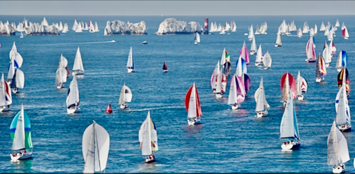
© Sail Racing Academy
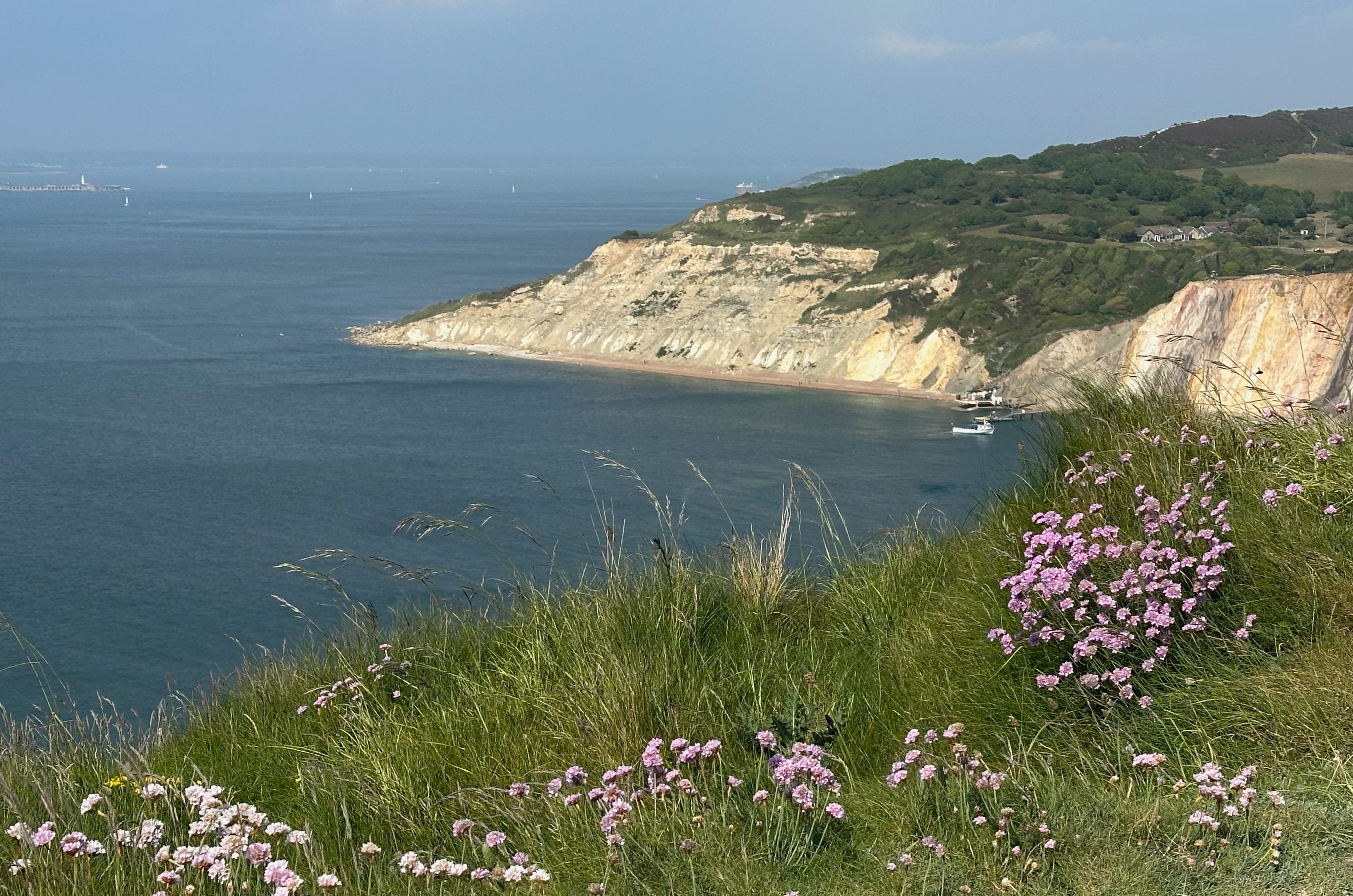
Alum Bay, its cliffs famous for a multiplicity of differently coloured sands, lies beside The Needles and is a popular destination for the island’s many holiday makers. From there a small number of boats allow visitors a closer glimpse of the stacks and their lighthouse.
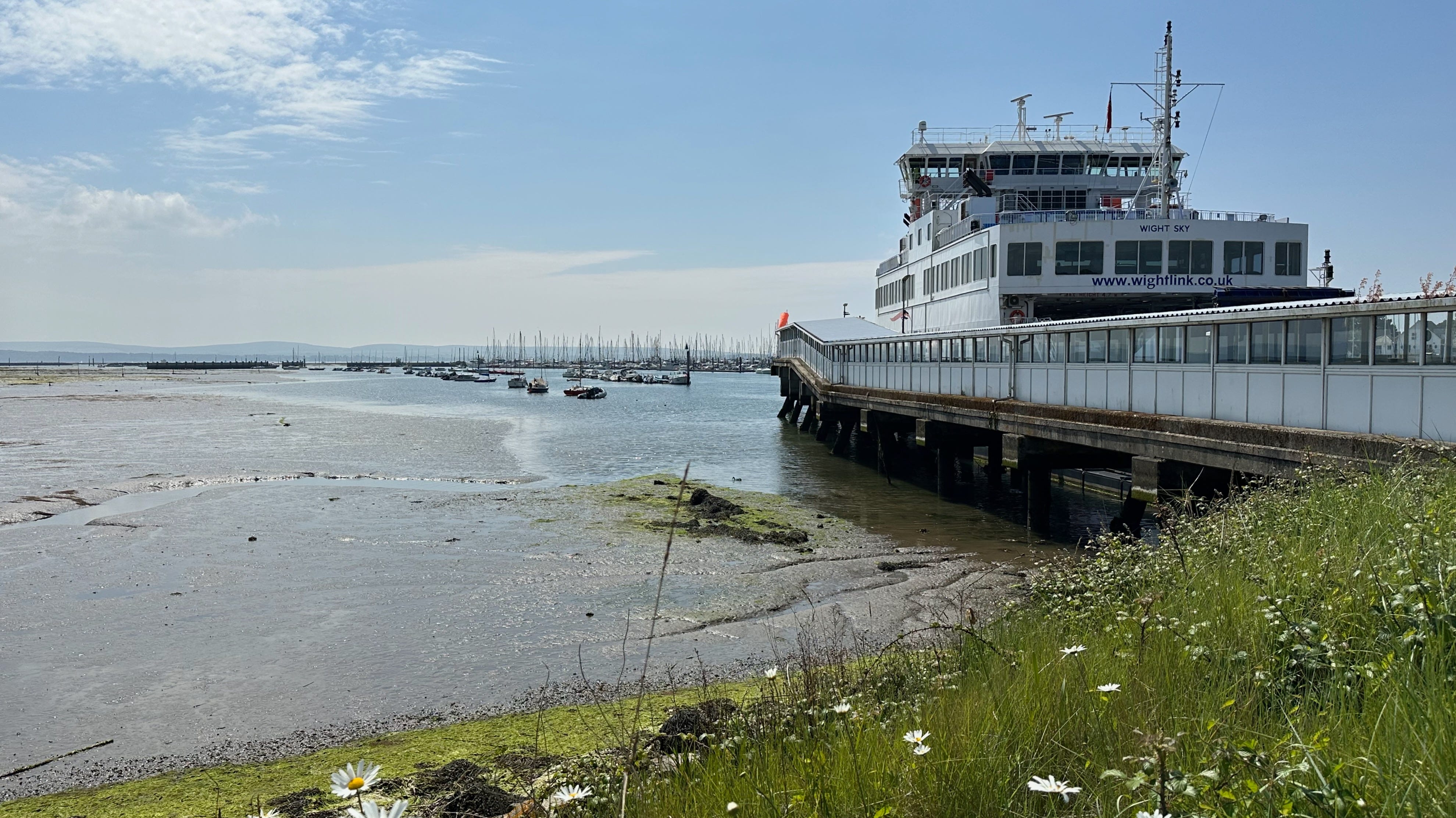
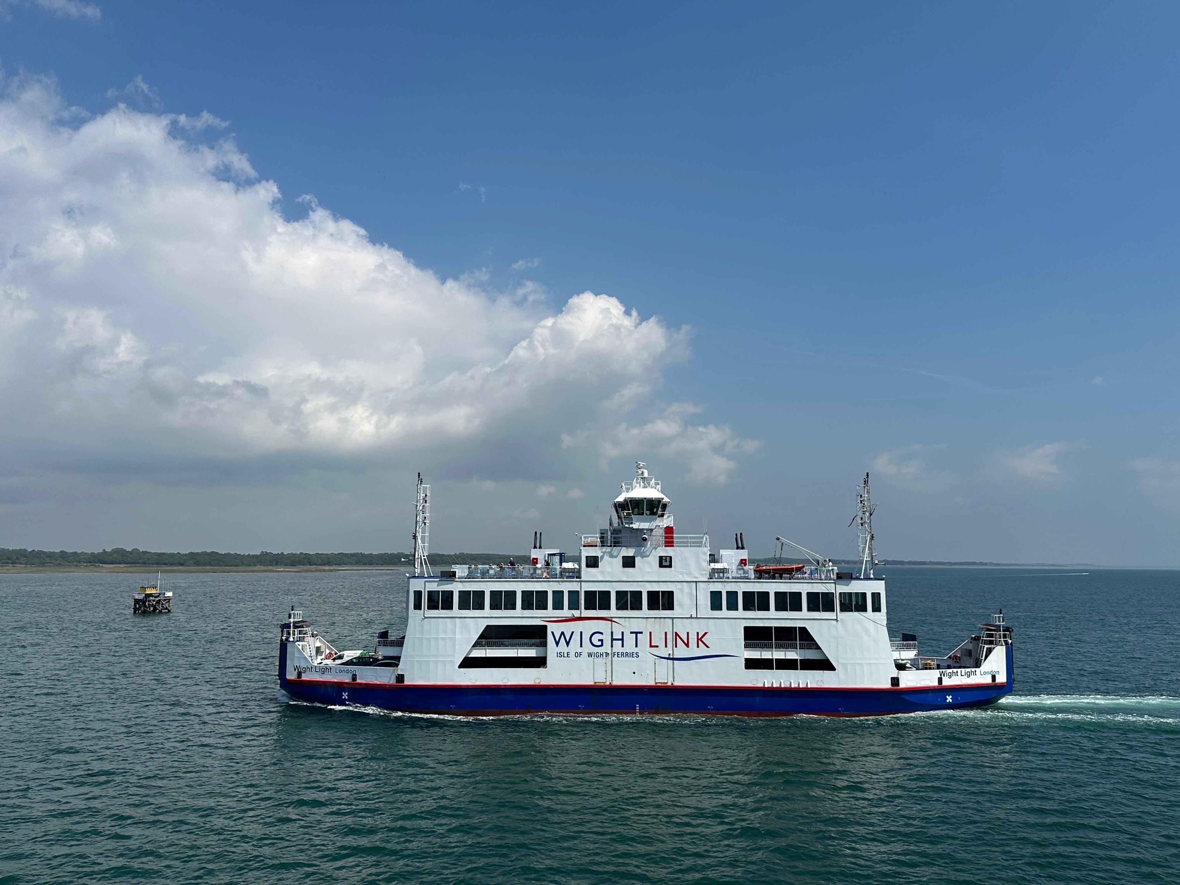
Now, without a boat on these waters to call our own, we took the Isle of Wight ferry from Lymington on the mainland to Yarmouth on the island with the express purpose of walking, for the first time despite so many years spent in these parts, the single track road called The Needles Breezer.
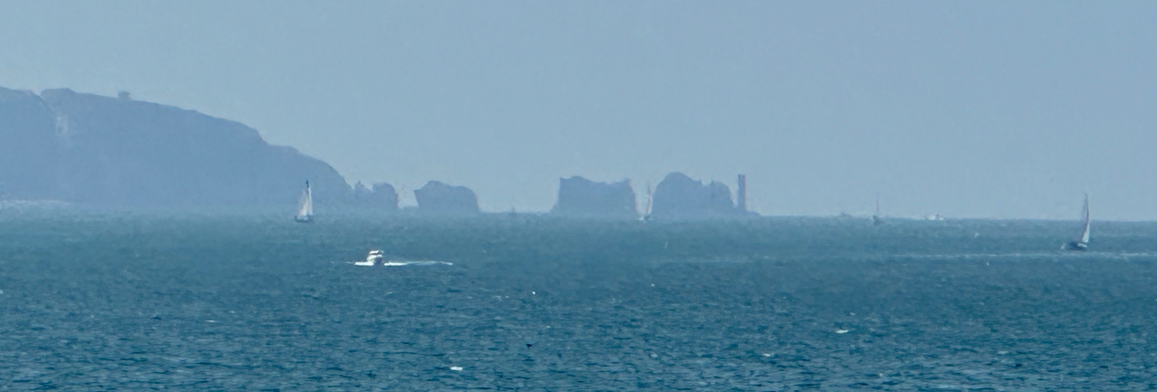
A Distant view of The Needles from mid Solent
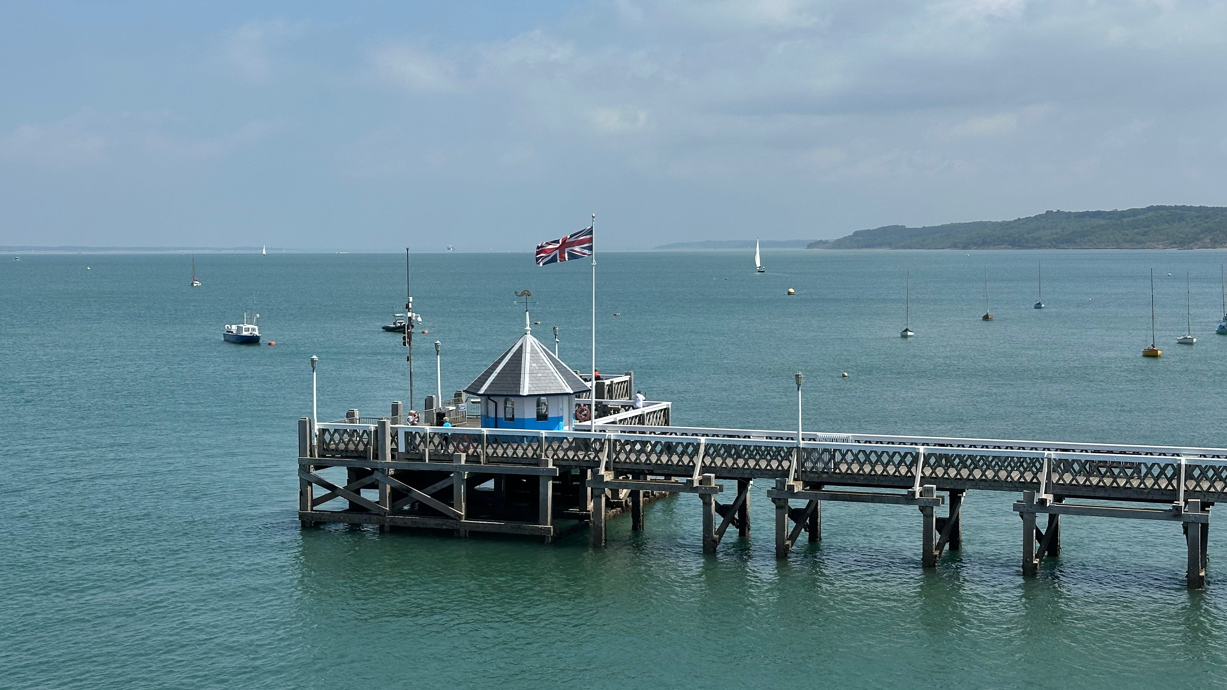
Yarmouth Pier
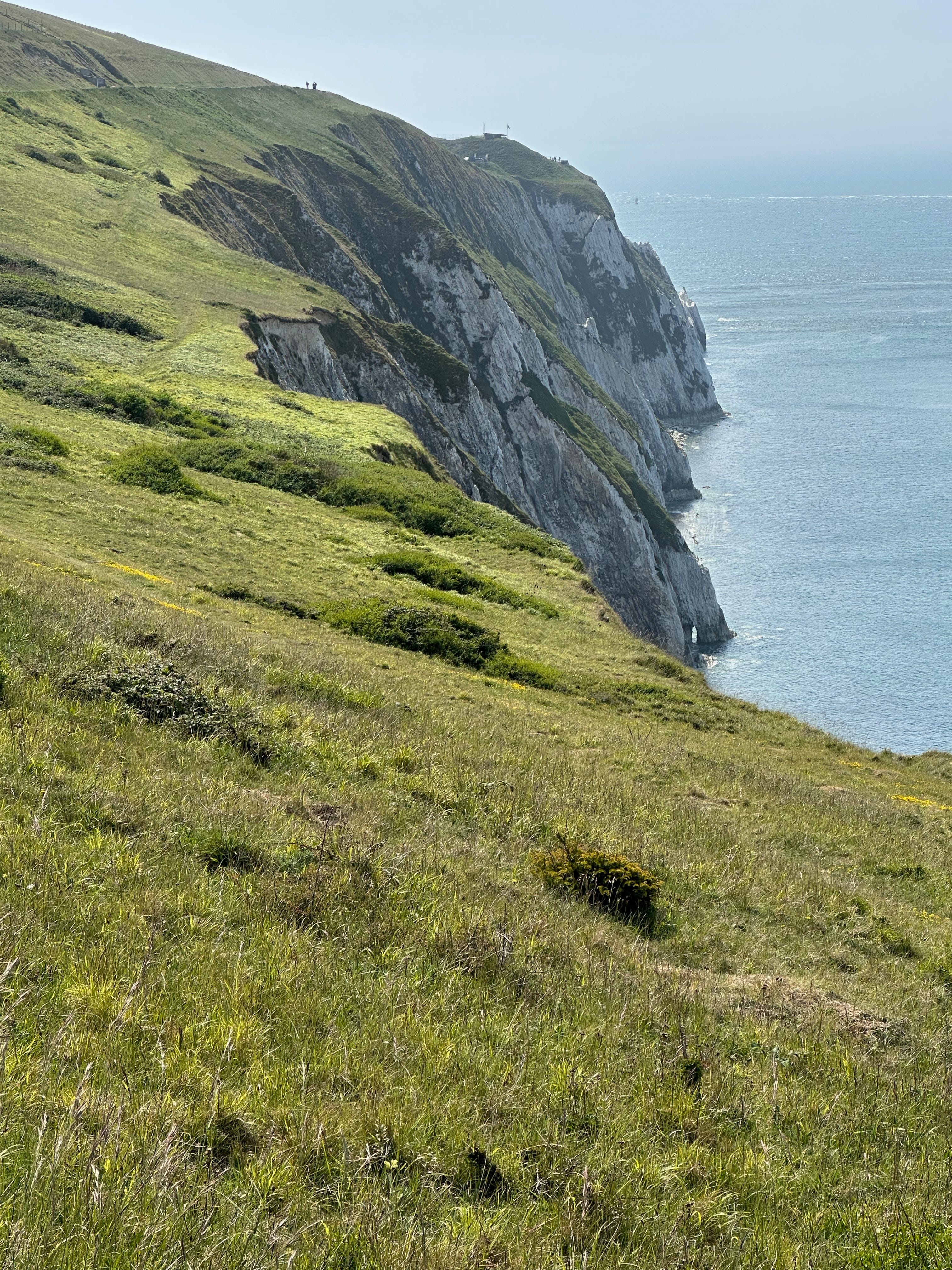
From Yarmouth we jumped on the Southern Vectis bus, Vectis being the Roman name for the Isle of Wight, taking the route which ends at the now decommissioned Needles Battery. Choosing to leave the bus at Alum Bay, it’s penultimate stop, we walked the Breezer accompanied only by the call of sea birds.
Here, high above the water and running parallel with the cliff edge, we were gifted with spectacular views down onto The Needles and across the majestic chalk cliffs which lie to their south.
© Isle of Wight Tourism
© MyPix

Beyond only ocean and sky.
© Text & Images (unless indicated otherwise) Derek Frost 2025
Derek, not only are you a wonderful photographer but a wonderful writer too! Very fascinating and informative content.
Wonderful pictures and description of your day visiting the Needles 😊